DJI
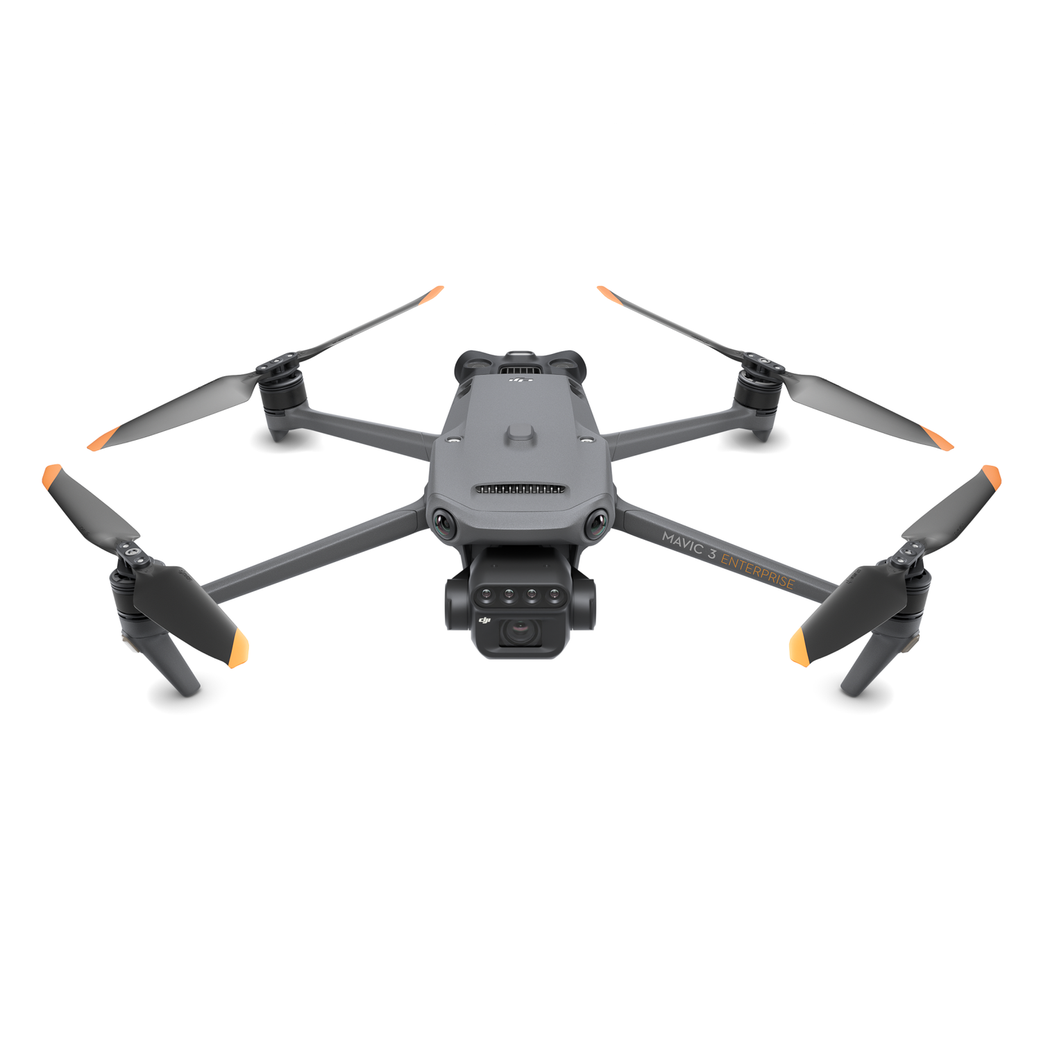
DJI Mavic 3 Multispectral Universal Edition
Model CP.EN.00000445.04
Compare price
Laptops DirectCheapest
In stock · 3-5 days
£4,122.30View at Laptops Direct
Specifications
- model number
- CP.EN.00000445.04
Full specifications
. DJI Mavic 3M Enterprise DroneUpgrade your agricultural operations with the DJI Mavic 3M. We offer total solutions for the commercial sector delivering smart value on this advanced multispectral drone. Discover a system designed to solve complex surveying challenges by making the invisible visible. This drone provides the precision and data necessary for professional crop management.Integrated imaging and sunlight compensationThe Mavic 3M combines a 20MP RGB camera with four 5MP multispectral cameras (green red red edge and near infrared).
This highly integrated system is ideal for high-precision aerial surveying and natural resource monitoring. A built-in sunlight sensor captures solar irradiance to allow for light compensation during 2D reconstruction. This ensures more accurate NDVI results and improves the consistency of data acquired over time.Centimetre-level precision and data transmissionThe integrated RTK module syncs with the flight control and camera in microseconds to allow centimetre-level positioning without ground control points.
For a stable connection the O3 transmission integrates two transmitting signals and four receiving signals supporting an ultra-long transmission distance up to 15 km. Wide-FOV vision sensors ensure safe navigation by accurately detecting hazards in all directions for complete omnidirectional obstacle avoidance. We support your operations with comprehensive aftercare service and total solutions.Professional agricultural applicationsWe understand that operational efficiency is vital for your business.
The Mavic 3M performs terrain-follow aerial surveying on steep-slope landscapes. For orchard mapping you can use DJI Terra or the DJI SmartFarm Platform to reconstruct high-resolution maps and generate three-dimensional routes for agricultural drones. The drone obtains multispectral images to guide variable-rate applications for rice fertilisation and cotton growth regulation.
Generating prescription maps allows you to reduce costs protect the environment and increase yields.Intelligent field scouting and environmental monitoringYou can carry out automatic field scouting and upload images to the DJI SmartFarm Platform in real time using a 4G network. The system conducts intelligent analyses using AI to identify abnormalities such as weed pressure emergence deficiencies or crop lodging.
This guidance allows one person to easily manage 70 hectares of farmland. Furthermore the drone supports environmental surveys; it monitors water enrichment maps forest distribution and surveys urban green areas.